|
WHITEHALL ROMAN VILLA AND LANDSCAPE PROJECT
|
|
Aerial photos at end of 2004 dig
These are just five of the 52 of the photos taken by Aerial Close-Up Ltd at the end of the 2004 excavation.
Click on one of these shots for a larger photo in a new browser window.
The larger versions will a take up to a couple of minutes to download, depending on your internet connection.
(see also Interim Report on 2004 excavation)
All these aerial photos are copyright Aerial Close-Up Ltd.
The full size tiff files - scanned from 35mm negatives - are 18MB each and allow the examination of very small details!
If you're wondering where the ranging rods have gone...every corner of the 10 metre site grid is highlighted (by a CD under the post!) and is clearly visible on the full size images. In addition to providing an accurate scale, these points will enable the production of fully rectified, orthographic images!
 |
 |
|
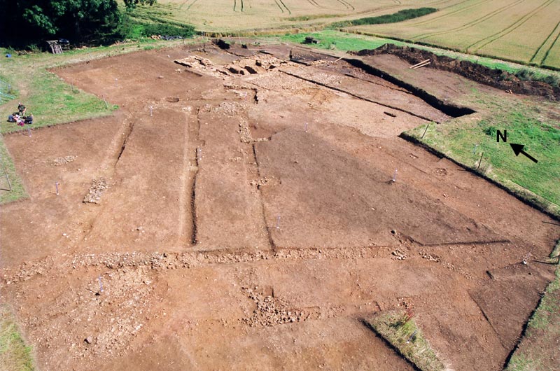
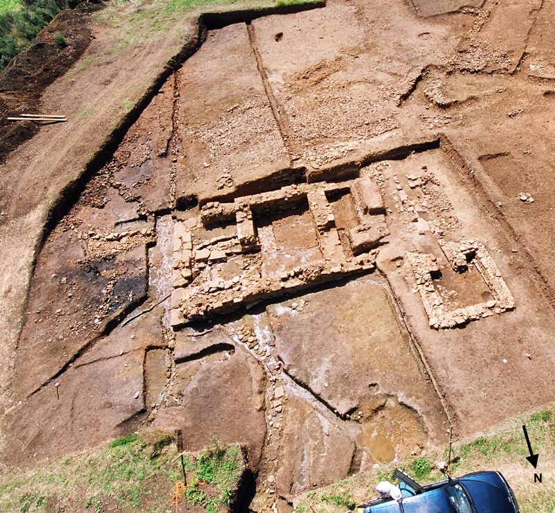
The whole site, with the newly excavated south-west wing of the villa in the foreground. |
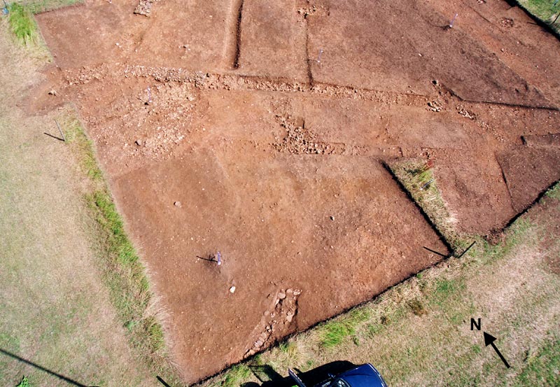
"Plan" view of the south-west wing. The feature emerging from the baulk at the bottom of the photos, next to the Aerial Close-Up vehicle, is the foundation of a roundhouse, uncovered on the last day of the dig. |
 |
 |
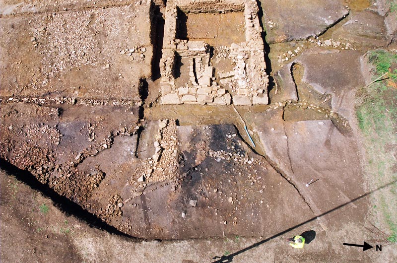
The bath house, with newly excavated areas to south, east and north. |
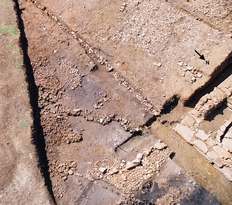
A closer shot of the drains and surfaces excavated to the south east of the bath house |
 |
|
|
Looking down on the drains and sump to the north of the bath house |
|
|
|
|
|
The Whitehall project is again very grateful to Aerial Close-Up Ltd for its invaluable support
|
|
| © | Copyright of this web site, including all text and images (except where otherwise stated), belongs to The Whitehall Farm Roman Villa and Landscape Project. No part of this website may be reproduced in any form without the prior permission of the Project. |